How to Read a Wetland Trail Map: Symbols, Boardwalks and Flood Markers
A line of boardwalk crossing a reedbed looks simple on paper. It is the wash of blue hatchings either side, the little tufted grass symbols and the tidal creek with no bridge that decide whether the walk works. Wetland maps are dense with this kind of information, and most of it is useful rather than decorative. Spending ten minutes with the symbols at home saves a great deal of wading, backtracking and mild alarm later in the day.
Start With the Legend and the Scale
No two map publishers use identical symbols, so the legend is the first thing to read, not the last. An Ordnance Survey Explorer sheet, a national park leaflet and a reserve's own hand-drawn plan will each show a boardwalk slightly differently, and a path marked in one may be a permissive route with an opening date in another.
Check the scale bar next. At 1:25,000, four centimetres on paper is a kilometre on the ground; at 1:50,000, two centimetres is. That matters in a marsh, where a short-looking hop between two creeks can be half a mile of wet grass. Contour lines, usually at five-metre intervals on lowland sheets, tell you whether the path runs along a raised embankment or drops into a hollow that collects water.
Write down the grid reference of the car park and one or two junctions before you leave. If you need help, a grid reference is far more useful to a rescue team than "somewhere near the reeds".
Symbols That Mean Wet Ground
Water is usually printed in blue, with solid lines for rivers and drains, dashed lines for seasonal streams that may be dry in summer, and a spring symbol where water emerges from the ground. Marsh and bog symbols — often tufted grass marks or short horizontal dashes — indicate ground that is soft underfoot rather than open water, which is exactly the sort of distinction that decides footwear.
The wording on a map is worth reading closely, because British wetland vocabulary is wonderfully regional:
- Dyke, drain, gutter or grip — a dug ditch, common in the Fens and the Somerset Levels. Grips are narrow and often deep.
- Pill — a tidal channel, used widely around the Severn Estuary.
- Carr — wet woodland, usually alder or willow, often flooded in winter.
- Fen, mire, slough — peaty or silty ground that stays soft year-round.
- Salting, saltmarsh, mudflat — intertidal ground that disappears under water twice a day.
If a symbol is unfamiliar, assume the wetter interpretation until you can see the ground for yourself.
Boardwalks, Bridges and the Dotted Line
Footbridges and boardwalks are usually drawn as a short double line or an outlined rectangle across the feature they cross. A pecked or dotted line often means a path with no guaranteed surface — it exists, but it may be grass, mud or a route across the top of a sea wall.
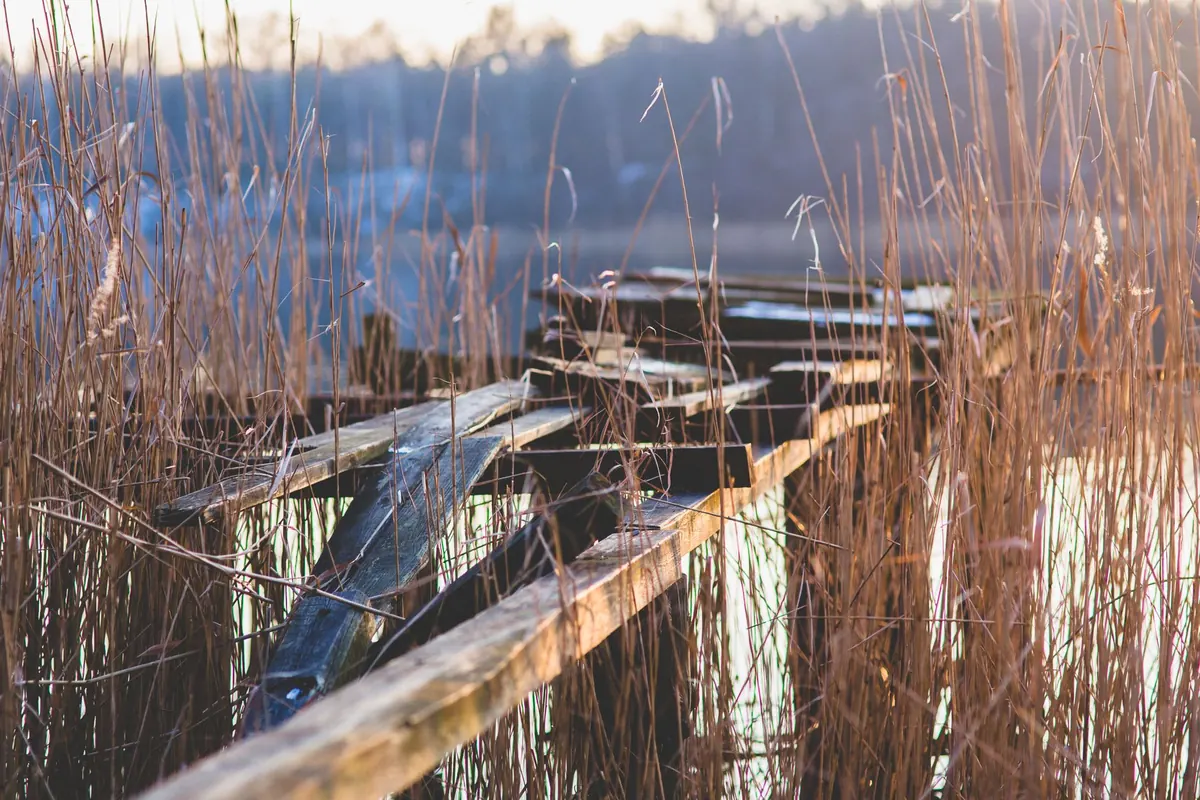
What the map cannot show is condition. Boardwalks rot, lift in floods and lose grip in frost. Some are single-file with no passing place, and a few carry weight limits or exclude cyclists and horses. On reserves, look for notes about seasonal closure, nesting restrictions or sections replaced by a diversion. If the map is more than a couple of years old, ring the reserve or check its website before relying on a specific link, especially after a winter of high water.
Flood Markers, Tide Lines and High Water
Flood markers are the physical side of the map's wet-ground symbols. They appear as gauge boards beside sluices, painted depth marks on bridge piers and walls, and plaques recording historic flood levels. On the map, you may see a tidal limit symbol where a river stops being influenced by the sea, spot heights on embankments, and the high water mark along the edge of saltmarsh. These are the clues that tell you how much water can arrive and how quickly.
Three points are worth holding on to:
- Tides are not just up and down. Spring tides push considerably higher than neap tides, and a strong onshore wind or low pressure can add height and speed. A channel you crossed ankle-deep at eleven o'clock may be waist-deep an hour later.
- Check the day's tide times and heights from the harbour authority, the reserve or a published tide table, and plan the tidal section around low water rather than squeezing it in.
- Never wade a tidal creek to save a detour. The bed is soft and uneven, the edges are often undercut, and the water is colder than it looks.
If a route is seriously affected by tides or flooding, the map alone is not enough. Ask locally, and take the advice you are given.
Access Symbols, Zoning and Seasonal Rules
Access land is usually shaded, and public rights of way are drawn as dashed lines — but in marshes those lines often run beside, not across, wet ground. Nature reserves frequently use zoning: an open path, a members-only hide, a no-entry area for nesting or roosting birds, and a strictly closed island for breeding waders between spring and midsummer.
Dogs are the most common source of friction. Many wetland reserves require leads from March to July, and some exclude dogs entirely from boardwalk sections. Check before you go, and treat a closed symbol as closed rather than negotiable.
A Ten-Minute Check Before You Set Off
- Read the legend, then find every symbol on your route that means water, mud or a bridge.
- Measure the total distance with the scale bar, and add a third for wet ground and gates.
- Mark two or three turning points where a short cut or retreat is possible.
- Check tide times, opening hours and any seasonal diversions.
- Note grid references for the start, the furthest point and the nearest road.
- Pack the map in a waterproof case, plus a compass and a charged phone.
- Tell someone your route and expected return time.
Matching the Map to the Ground
Out on the trail, use features rather than guesswork: the third footbridge after the sluice, the corner where the embankment turns north, the gate with the flood plaque beside it. Check your position every time you cross a bridge or join a new path, and turn back while turning back is still easy.
Most importantly, trust your eyes over your paper. If a boardwalk is submerged, a step is missing or a path has been swallowed by reed growth, the sensible answer is to reroute or return. The map told you the ground was wet. Believe it.
Photo: WikiImages / Pixabay

Slot Volatility Explained: Why Your Bankroll Depends On It
Two players sit down at the same online slot, both with a $100 bankroll, both spinning at $1 a pull. One...

Volunteer Conservation on Wetland Trails: How to Join a Local Work Party
Practical conservation volunteering on wetland trails is sociable, useful and easier to start than you...
About Us