Tides and Wetland Trails: How to Plan a Safe Coastal Marsh Walk
Saltmarsh and estuary walking gives you something a hill path never does: ground that changes shape while you are standing on it. A creek that was a dry ditch on the way out is a deep channel an hour later; a sandbank you crossed without thinking becomes an island. That is not a reason to avoid the marsh. It is the reason a marsh walk feels like a proper journey, and the reason the tide has to be the first thing you plan around.
Planning takes about fifteen minutes at home, with a tide table, a map and a notebook. Here is how the pieces fit together, from reading the numbers to choosing the moment you turn back.
Reading a tide table without guessing
A tide table gives you four useful things for a given day: the time of high water, the time of low water, the predicted height of each, and the resulting tidal range. Heights are measured above chart datum, a level roughly matching the lowest tide you would expect locally. So a low water of 0.4 m is not "40 cm of water everywhere" — it is a very low tide, with a lot of normally submerged ground walkable. A high water of 4.8 m on a spring tide tells you the creeks will be full and the upper saltmarsh may be under water.
Two things trip people up. First, the times and heights are usually published for a reference port, and your stretch of coast may be a secondary location with its own corrections, often printed as a simple plus or minus in minutes and metres. Second, check whether the table is in GMT or British Summer Time. An hour's error is enough to spoil the day.
Springs, neaps and the rule of twelfths
Spring tides fall around new and full moon, neaps around the quarter phases. Springs have a bigger range: the water goes further out, comes further up, and moves faster in between. On a marsh walk that means more ground at low water and less margin for error on the way back.
The rule of twelfths is a rough way to picture the return. Over the six hours from low to high water, roughly 1/12 of the range arrives in the first hour, 2/12 in the second, 3/12 in the third, then 3/12, 2/12 and 1/12. With a 4 m range that is about 30 cm, then 70 cm, then a metre, then a metre, then 70 cm, then 30 cm. The middle hours are the ones that catch walkers out, because the water is not creeping back, it is arriving in earnest across flat ground where a few centimetres of depth spreads a long way inland.
Where coastal walkers actually get cut off
Cut-off points are rarely dramatic. They are usually places you crossed ten minutes earlier without noticing.
- Creeks behind you. A saltmarsh is a maze of channels. The one you stepped over on the way out fills from the seaward end first, and by the time you turn round it may be too deep and too quick to cross.
- Causeways and sea walls. A raised embankment path can become an island if the marsh either side floods, and the lane leading to it may be the lowest part of the whole route.
- Sand and mud at an estuary mouth. Water does not only come towards you. In a wide estuary it can fill in from a channel you are not watching.
- The last kilometre to the car park. Many cut-offs happen near the start of a walk, because that is where the path is lowest and closest to the water.
If you are caught out, get to the highest ground you can, stay there, keep warm and dry, and call 999 or 112 and ask for the Coastguard. Do not try to wade or swim a fast channel to save time.
Timing the route: work back from low water
Most estuary and saltmarsh routes are built around low water. Aim to be on the exposed ground within an hour or so of low tide, and plan to be back on high, safe ground well before the tide has done half its return.
Do the sums before you go, and be pessimistic. Suppose the route is 5 km each way. On firm paths you might manage 4 km/h, but sand, mud, soft saltmarsh and stiles will slow you to 2.5 km/h or less, so call it two hours out and two hours back. Add a stop and a boggy detour and the round trip is closer to five hours. If low water is at 13:00, setting off at 11:30 leaves a comfortable margin; setting off at 13:30 does not, because you will be returning on a rising tide.
High water does not arrive everywhere
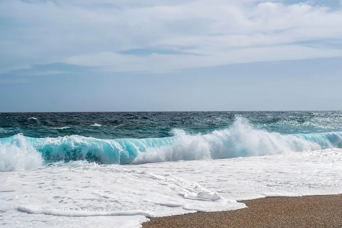
Photo: ELG21 / Pixabay

Slot Volatility Explained: Why Your Bankroll Depends On It
Two players sit down at the same online slot, both with a $100 bankroll, both spinning at $1 a pull. One...

Volunteer Conservation on Wetland Trails: How to Join a Local Work Party
Practical conservation volunteering on wetland trails is sociable, useful and easier to start than you...
About Us